|
Management Support System for Biebrza National Park :: GIS & database :: |
||||||
| ..::: Home :: Contact :: Wersja polska :::.. | ||||||
|
"WaterQuality" Database"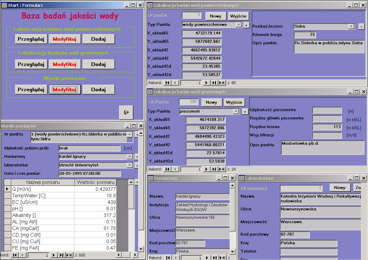 Contents of the databaseWaterQuality database collects mainly the data from the area of BNP and its protection zone. In particular, it is the following information related to surface and groundwater quality:
Occurrence and format of spatial information in the databaseSpatial information is presented in form of numbers describing geographical coordinates of the examined points. Number of objects and size of database fileWaterQuality database contains information collected from 114 points. These are in particular 29 piezometers and 85 surface water collection points. Instantaneous measurements are collected irregularly. The database stores also data obtained from analytical studies of Voivodship Inspectorate of Environmental Protection [Wojewódzki Inspektorat Ochrony Środowiska] (since 1986). The size of database file is 1.5 MB. |
|||||
|
|
||||||
|
||||||