|
Management Support System for Biebrza National Park :: GIS & database :: |
||||||
| ..::: Home :: Contact :: Wersja polska :::.. | ||||||
|
"Soil" Database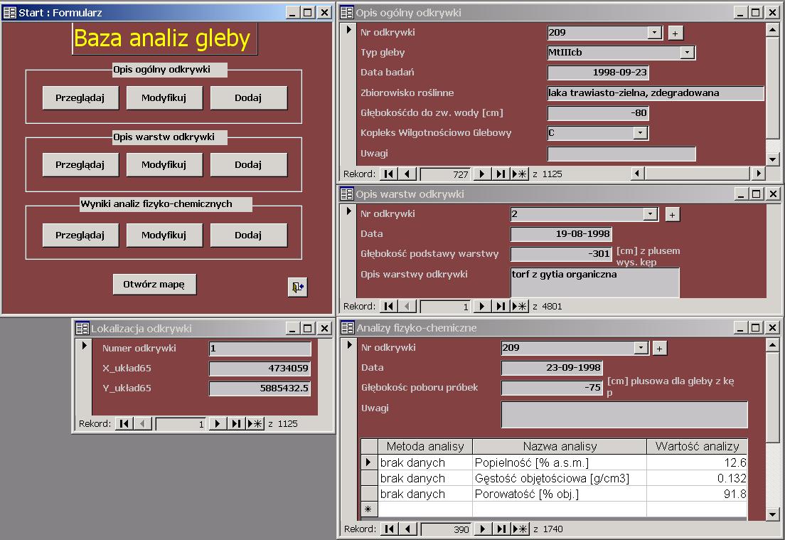 Contents of the databaseSoil database collects mainly data from the area of BNP. In particular, it is the following information related to soil survey:
Occurrence and format of spatial information in the databaseSpatial information is presented in form of numbers describing geographical coordinates of the examined points. Number of objects and size of database fileSoil database collects information from 1125 soil pits. Each soil pit has a general and strata description. It is also possible to take samples for physical and chemical analyses at a specified depth. The size of database file is 1.6 MB. |
|||||
|
|
||||||
|
||||||